Crop Health Imaging

Aerial Imaging
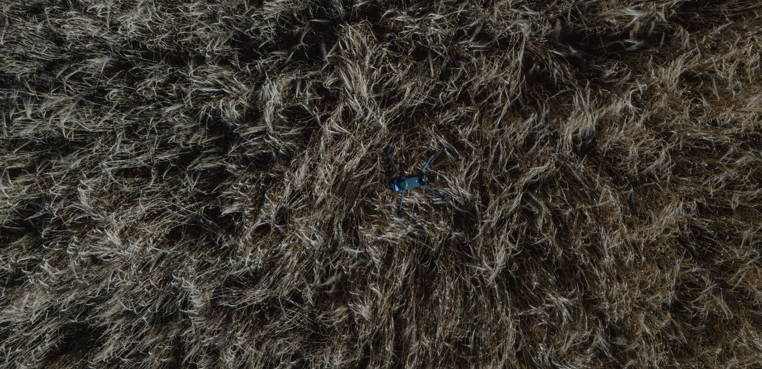
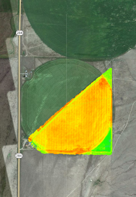
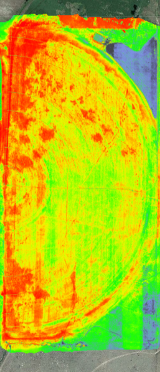
Our Aerial Imaging service uses advanced drones to capture stunning, high-resolution images of your fields. This helps you see crop health like never before. Get ready to transform your farming experience!
With our drones flying above your crops, we spot problems early. From pest infestations to nutrient deficiencies, we help you catch issues before they become big headaches. Your crops deserve the best care, and we’re here to provide it!
Our easy-to-read reports give you clear insights about your fields. Youʼll understand exactly what your crops need to thrive. With this knowledge, you can make smart decisions and boost your yields like never before!
We believe in teamwork! Our experts will work closely with you to tailor solutions for your unique needs. Together, we’ll create a plan that ensures your crops grow healthy and strong, maximizing your harvest every season!
Join the growing number of farmers who trust our Aerial Imaging service. Experience the power of drone technology and watch your crops flourish. Let’s take your farming to new heights together! Are you ready?
What does this data show?
NDVI (Normalized Difference Vegetation Index):
Purpose: Evaluates vegetation health.
How it Works: Compares near-infrared (reflected by vegetation) and red light (absorbed by vegetation).
Use in Agriculture: Indicates plant vigor and density; helps identify stressed areas due to drought or disease.
GNDVI (Green Normalized Difference Vegetation Index):
Purpose: Sensitive to chlorophyll concentration.
How it Works: Uses green light instead of red light for analysis.
Use in Agriculture: Provides early detection of crop stress, enabling timely interventions.
NDRE (Normalized Difference Red Edge):
Purpose: Monitors plant health in dense foliage.
How it Works: Utilizes the red edge band sensitive to chlorophyll changes.
Use in Agriculture: Tracks nitrogen levels and stress, supporting precision farming strategies.
LCI (Leaf Chlorophyll Index):
Purpose: Measures leaf chlorophyll content.
How it Works: Analyzes specific light wavelength absorption related to chlorophyll.
Use in Agriculture: Guides nutrient applications and assesses plant health.
OSAVI (Optimized Soil-Adjusted Vegetation Index):
Purpose: Minimizes soil brightness impact on vegetation measurement.
How it Works: Incorporates a correction factor for soil influence.
Use in Agriculture: Effective in sparsely vegetated areas, particularly useful in early planting stages and semi-arid regions.
These indices provide valuable insights for efficient crop management, improving yield, and resource allocation.

