Mapping Services

Field Mapping
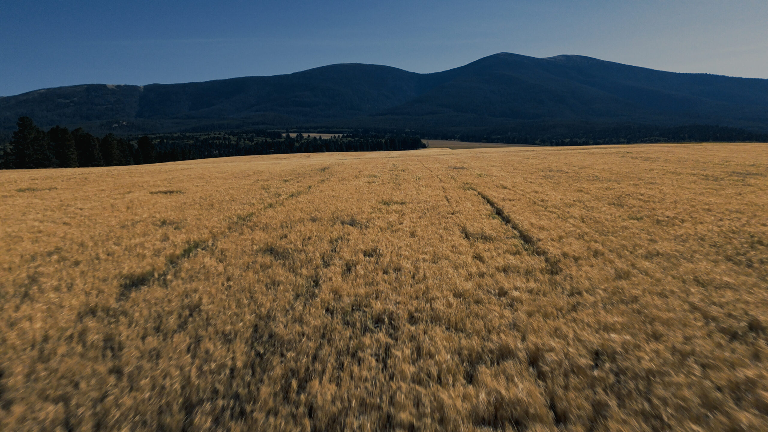
Unlock the power of your fields with our Aerial Surveys. We use advanced drones to capture stunning, high-resolution images that reveal the health and growth of your crops like never before.
Our expert team analyzes the data collected to provide you with clear insights. Youʼll see exactly where your crops thrive and where they need extra care. This means smarter decisions for better yields, saving you time and resources.
With our Aerial Surveys, you gain a birdʼs-eye view of your entire farm. This helps you spot issues early, like pests or diseases. Youʼre not just farming; youʼre farming smarter and ensuring a healthier crop for a fruitful harvest.
Our drones work quickly and efficiently, covering large areas in no time. You get timely reports and maps that make it easy to track changes. Every flight brings you closer to achieving your farming goals with confidence.
Join the future of farming today! Our Aerial Surveys empower you to take control of your land like never before. Let us help you boost productivity and maximize profits while nurturing your crops to their fullest potential!
